At Sky Commander, we believe every successful mission starts long before the propellers spin. It starts with clarity, caution, and a killer checklist.
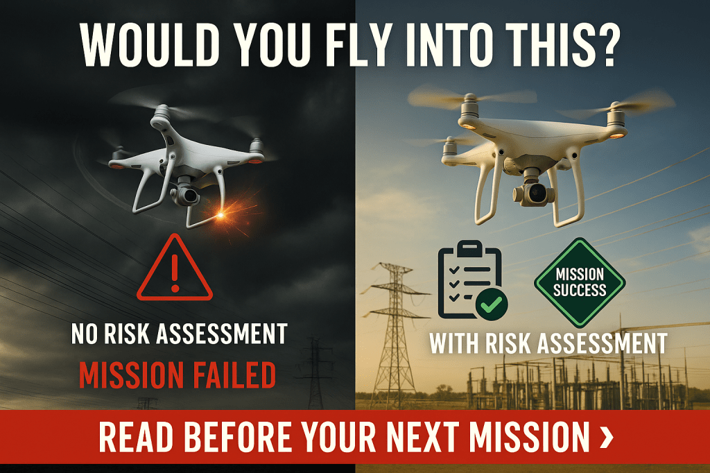
This Wingman Wednesday, we’re spotlighting a crucial—but often underestimated—team player: the Operational Risk Assessment.
Whether you’re running a solo recon flight or coordinating a full crew operation, how you identify and mitigate risk before takeoff sets the tone for everything that follows.
🧠 Why It Matters
Drones don’t crash because of bad luck—they crash because someone missed a variable. The good news? Most risks are preventable when you apply the right process before takeoff.
Operational Risk Assessment is your first layer of protection, and it’s not just for Transport Canada compliance. It’s how elite operators think.
🛠️ Tools of the Trade
Here’s how pro teams assess mission safety at Sky Commander:
1. The Pre-Mission Risk Matrix
Before takeoff, evaluate these five categories:
- Weather: Wind speed, precipitation, temperature, sun angle.
- Airspace: Controlled? Restricted? Any NOTAMs or TFRs?
- Terrain & Structures: Proximity to buildings, towers, trees, cliffs, or—our old friend—powerlines.
- People & Property: Will the mission occur over active roads, rooftops, or curious bystanders?
- Equipment Health: Battery status, GPS lock, firmware updates, emergency response protocols.
Rate each from Low / Medium / High Risk, then sum it up. A “High Risk” flag? Mitigate or delay. Period.
2. PAMS – Pre-Arrival Mission Safety
For missions near infrastructure (like substations or powerlines), we use the PAMS method:
- Permission: Do you have legal access and stakeholder approval?
- Airspace: Is it classified? Do you need NAV CANADA coordination?
- Mission Plan: Are all waypoints, altitudes, and failsafe settings set?
- Safety Contingency: If the wind picks up or GPS drops, what’s the abort plan?
3. Transport Canada Requirements
Advanced RPAS pilots are expected to:
- Complete site surveys (including obstacles, airspace, people).
- File and document risk assessments.
- Have an emergency contingency plan.
- Be ready to show your process if audited.
Failing to assess = failing to comply. We don’t just meet the standard—we set it.
⚡ Real-World Scenario: Risk Missed, Mission Lost
One of our early field partners planned a transmission line inspection near a river valley. The day looked calm on paper—but they skipped the wind sheer check at elevation.
Result? Their fixed-wing unit got lifted and slammed against terrain 200 meters east of the flight path.
The fix? A $6,000 repair—and two weeks of lost data.
The lesson? Always assess from the sky’s perspective, not just the map’s.
✅ Wingman Takeaways
- Use a Risk Matrix for every mission—even low-key ones.
- Log your assessment—so you can improve, review, or defend decisions later.
- Brief your crew—risk knowledge shared is risk reduced.
✈️ Final Thought
Every mission has risk. But at Sky Commander, we don’t fly blind—we fly informed. And that starts with you, Wingman.
Be the voice in the preflight huddle who asks:
“Have we really thought through all the risks?”
Because heroes aren’t just made in the air. They’re made in the briefing room.
👉 What’s your go-to method for managing mission risk? Drop a comment, share your tips, or tag a teammate who’s saved your bacon in the field.

Leave a comment