The weather doesn’t just change your flight plan—it rewrites it. And if you can’t read the code, you’re flying blind.
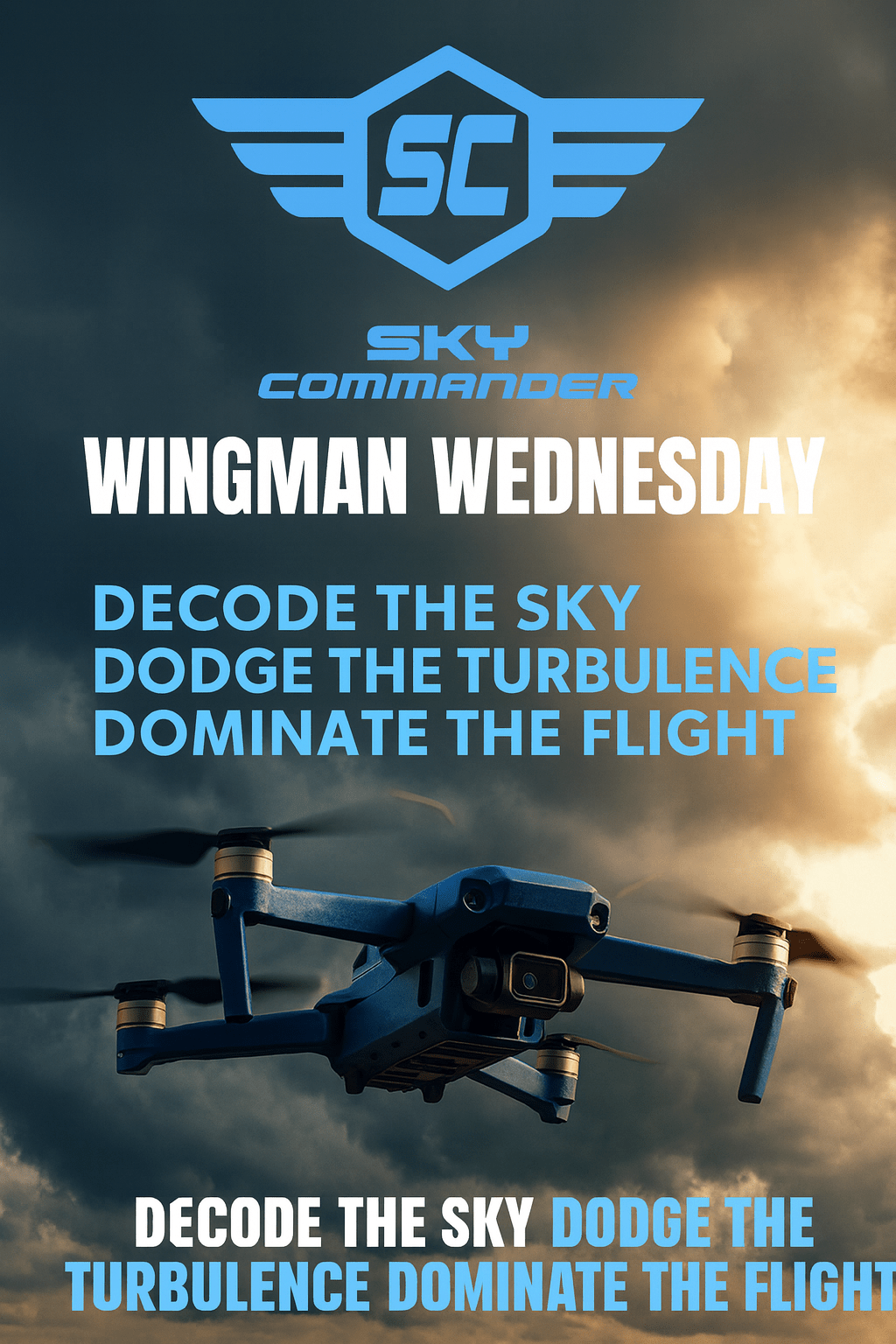
Why This Week’s Wingman Wednesday Matters
Canadian skies are tricky—sunshine one minute, gusting crosswinds the next. For drone pilots, the real threats aren’t always visible. Winds aloft, convective turbulence, or even mis-read weather codes can turn a safe mission into a mayday.
The last few episodes of the Sky Commander Academy Podcast dig into these invisible forces:
- S2E56 – Decoded: The Weather Code Every Drone Pilot Must Understand
- S2E55 – The Sky Is Boiling: Convective Weather and Winds Aloft Every Drone Pilot Must Respect
- S2E54 – Wind Is Lying to You: The Turbulence Trap That Downs Drones
Together, they form a mini-series on aerial awareness. This week’s Wingman Wednesday connects the dots into a practical field guide for your next mission.
1. Weather Code Warm-Up: METARs & TAFs
METAR = Meteorological Aerodrome Report.
TAF = Terminal Aerodrome Forecast.
Think of them as the pilot’s cheat sheet—like a drone’s version of a mission briefing.
Example:METAR CYYC 021200Z 18012KT 15SM FEW030 BKN080 20/10 A3015
CYYC: Calgary International021200Z: 2nd day of the month, 12:00 UTC18012KT: Wind from 180° at 12 knots15SM: Visibility 15 statute milesFEW030: Few clouds at 3,000 ftBKN080: Broken cloud layer at 8,000 ft20/10: Temperature 20°C, dewpoint 10°CA3015: Altimeter setting 30.15 inHg
Pro Tip: Focus on wind + visibility + cloud ceiling. If you can read those three first, you’ll know 80% of what matters for RPAS operations.
2. Convective Chaos: The Sky That Boils
Surface weather might look calm—but above your drone, invisible convective forces are brewing.
- Rising thermals: Warm ground creates vertical air currents that destabilize drones.
- Thunderstorm outflow: Winds can surge outward 20+ km from a storm cell.
- Wind shear: Direction or speed shifts with altitude, sometimes within a 20-m climb.
🎧 In S2E55, Sky Commander Academy calls this “the sky boiling above you.” That’s not poetry—it’s a survival tip.
Memory Aid: Hot ground, cold sky—air wants to try. (If temps differ sharply, expect instability.)
3. Turbulence Trap: When Wind Lies
Your weather app says 8 km/h breeze. You launch at 30 m. Suddenly: gusts double your drone’s rated tolerance. What happened?
- Buildings and trees create mechanical turbulence.
- Valleys and ridges act like funnels, accelerating flow.
- Temperature inversions can trap low-level turbulence just above take-off height.
🎧 In S2E54, the podcast warns: “Wind is lying to you.” It looks gentle at ground level, but your drone doesn’t fly at ground level.
Pro Tip: Do a “step-climb test.” Hover at 10 m, then 20 m, then 40 m. Watch how stability changes. If it gets jumpy, you’ve just found a turbulence layer.
4. Scenario Spotlight: The Quiet Morning That Wasn’t
A pilot in rural Alberta launches for an early-morning photo shoot. Forecast: calm. Surface winds: 6 km/h.
At 50 m, the drone rocks violently. At 70 m, yaw control lags. Within 30 seconds, GPS hold is lost. The cause? A thermal pocket rising off a freshly plowed field warmed by sunrise.
Lesson: Even when forecasts say calm, terrain and micro-weather matter. Always brief your VO on these risks.
5. Wingman Takeaways
- ✅ Decode METARs/TAFs: Wind, visibility, ceiling.
- ✅ Check for convective threats above—even if ground is calm.
- ✅ Run a step-climb turbulence test before committing to mission altitude.
- ✅ Train your eye for terrain + weather interactions (fields, valleys, ridges).
- ✅ Always have a safe exit plan—today’s turbulence is tomorrow’s flyaway if you’re unprepared.
6. Want to Go Deeper?
Tune into the Sky Commander Academy Podcast episodes S2E54-56 for detailed breakdowns of weather code reading, convective weather, and turbulence traps. These aren’t just theory—they’re the difference between smooth flight and expensive repairs.
7. Call to Action
Wingman Challenge: Next time you fly, pull a METAR for the closest aerodrome. Post in the comments how you decoded it—and whether it matched your in-flight reality.
Your wingman crew is watching. Share your knowledge. Keep us all in the sky.

Leave a comment